
Sustaining a Hungry World with Data
Food shortages that leave communities languishing. Unpredictable weather that leads the cost of staples to skyrocket. Farmers that rely on a thriving market to provide for their families.
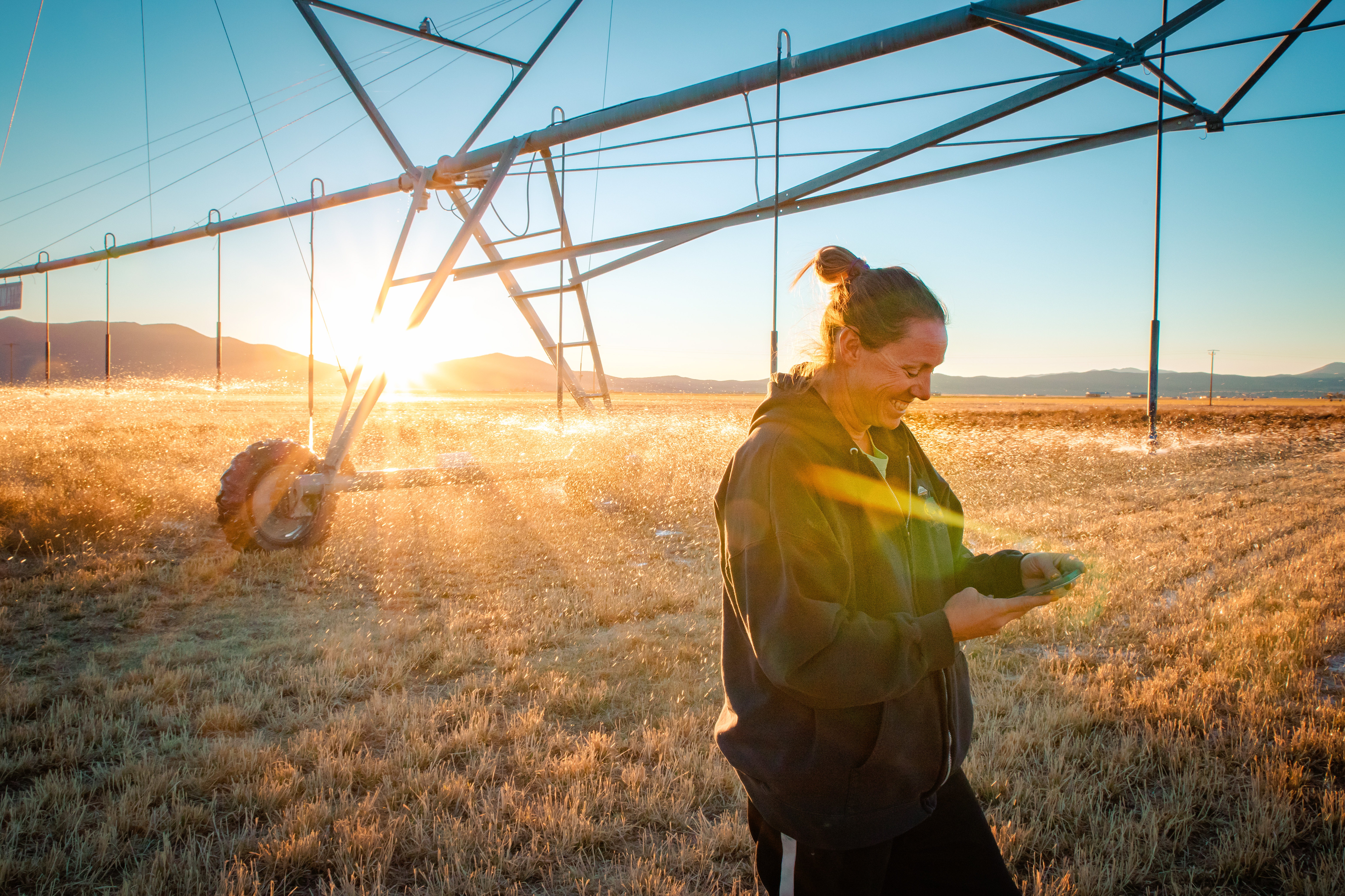
The Agriculture program area promotes the use of Earth observations to strengthen food security, support market stability and protect human livelihoods. Together with partners in the United States and around the world, we help bolster food security, improve agricultural resilience and reduce price volatility for vulnerable communities.
Our FOcus
Why Agriculture?
We've increased the scope of our work with the agriculture sector because of the potential impact of climate change on our nation's ability to feed itself.
NASA is engaging the ag sector to find out what data and tools producers need now, and in the future, as they make changes in their management practices to respond to changing weather patterns.
Why Now?
Space offers NASA an unique vantage point to study the Earth's systems. NASA's Earth Science Division uses Earth observations from more than 25 missions in orbit around our planet.
NASA has an over 50-year long relationship with agriculture data, beginning in 1972 with Landsat. A NASA and U.S. Geological Society mission, Landsat celebrated 50 years of operations in 2022. In September 2022, we launched Landsat 9.
Tools for Producers
The global observations Landsat collects are the basis for many tools that producers rely on today, including the U.S. Drought Monitor, and the U.S. Department of Agriculture's monthly World Agricultural Supply and Demand Estimates (WASDE) report.
NASA produces other applications for producers, such as NASA Harvest's precision nutrient management tools, OpenET, and Crop-CASMA. These are designed to put data-driven management tools into the hands of farmers.
Free and Open to All
All NASA data is open to the public and freely available, and the agency is dedicated to developing the applications to put the data and scientific findings to work for agricultural producers.
Featured Product
OpenET
OpenET is an website tool that provides data for U.S. water management on 17 western states, most notably the area covered by the Colorado River basin. The "ET" in OpenET stands for evapotranspiration, which is the process through which water leaves plants, soils, and other surfaces and returns to the atmosphere. It's a measurement that farmers can use to estimate the amount of water being taken up or used by their fields and crops and that will usually need to be replaced through irrigation or rainfall.
More about OpenET: OpenET: A Transformative Tool for Tracking Water in the U.S. West
