by Ellen Gray
Excitement was in the air when research scientist Dan Slayback of NASA’s Goddard Space Flight Center in Greenbelt, Maryland, approached a small trio of islands in the South Pacific island nation of Tonga. It was October 8th, and Dan had joined the scientists and students with the Sea Education Association’s SEA Semester South Pacific cruise to visit a three-year-old island he’d only seen from space.
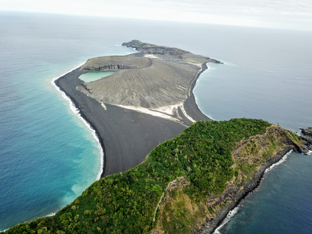
“There’s no map of the new land,” Dan said. It erupted from the rim of an underwater caldera in early 2015, nestled between two older islands. The older islands were on some nautical charts at coarse resolution, and the satellite observations appeared to show shallow beaches on the south side of the new island that would allow them to land. However, while satellites are powerful tools for looking at land on Earth, they are not omniscient about all the details on the ground – these beaches turned out to be too steep and the waves too rough for an easy landing.
When the volcanic island burst into being in January 2015 it immediately captured the attention of NASA scientists keen to understand how new islands form and evolve on Earth – which may also give them clues about how volcanic landscapes interacted with water on ancient Mars. The new Tongan island is one of only three that has erupted in the last 150 years that have survived the ocean’s eroding waves longer than a few months. Dan and his colleagues Jim Garvin at Goddard and Vicki Ferrini at Columbia University have been watching it from satellites since its birth, trying to make a 3D model of its shape and volume as it changes over time to understand how much material has been eroded and what it is made of that makes it partially resistant to erosion. But while high-resolution satellite observations are revolutionary for studying remote regions – such as tiny islands in the vast Pacific Ocean – they can only tell you so much without actually visiting the place on the ground.
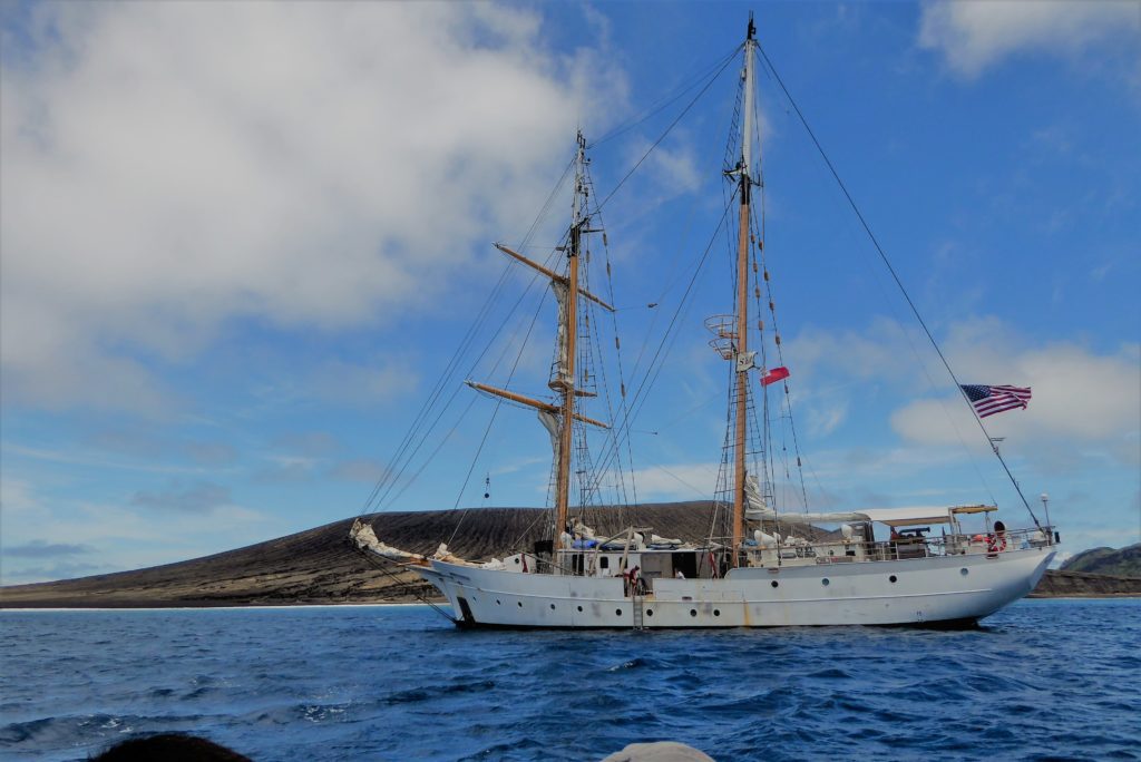
Dan and the SEA scientists and students, as well as a Tongan observer, sailed around to the calmer northern coast of the island, which still has no official name and is referred to by the combined names of its neighbors, Hunga Tonga-Hunga Ha’apai (or HTHH for short). On October 9th, they spent the day taking GPS measurements of the location and elevation of boulders and other erosional features visible in the satellite image.
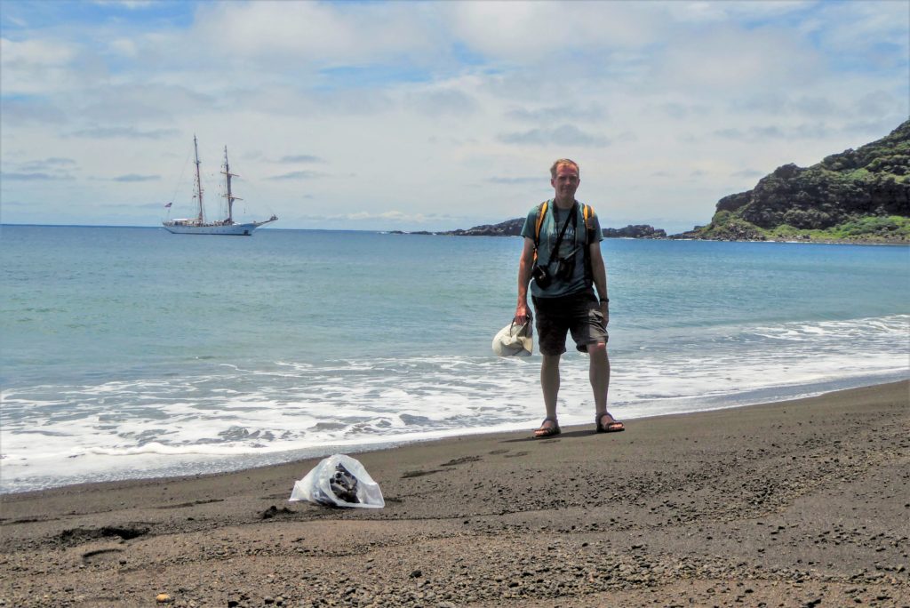
“We were all like giddy school children,” said Dan of their visit. “Most of it is this black gravel, I won’t call it sand – pea sized gravel – and we’re mostly wearing sandals so it’s pretty painful because it gets under your foot. Immediately I kind of noticed it wasn’t quite as flat as it seems from satellite. It’s pretty flat, but there’s still some gradients and the gravels have formed some cool patterns from the wave action. And then there’s clay washing out of the cone. In the satellite images, you see this light-colored material. It’s mud, this light-colored clay mud. It’s very sticky. So even though we’d seen it we didn’t really know what it was, and I’m still a little baffled of where it’s coming from. Because it’s not ash.”
Editor’s Note: Dan later learned that clayey materials washing out from the cone, even a cone from an ash-dominated eruption, is not unexpected. Similar mud deposits have been observed on other small oceanic island volcanoes, as a weathering product from tropical rains that wash fine particles down from the higher elevations and turn them into small mud-flows that are deposited in the low, flat areas around the base of the volcano.
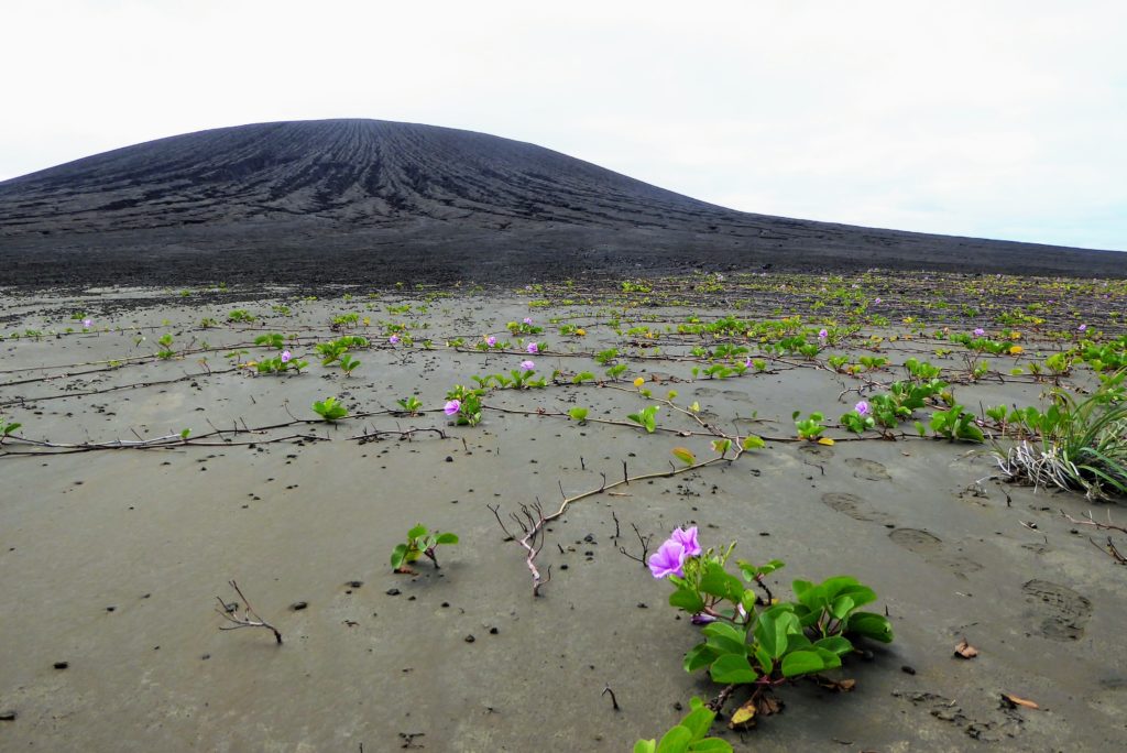
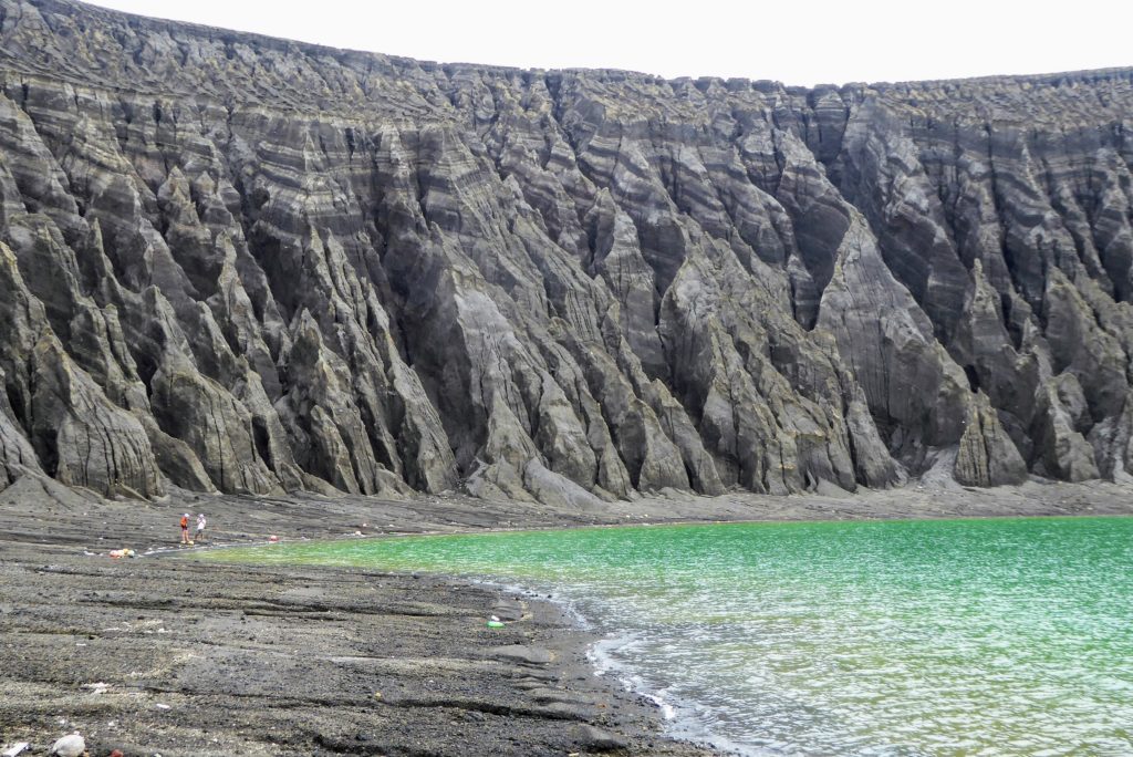
Mud was only one of the surprises. Dan and the students were able to get up-close photos of the vegetation beginning to take root on the isthmus connecting the island to its neighbor, and patches likely seeded by bird droppings on the volcanic cone’s flank. A barn owl made a surprise appearance (they occur worldwide; the sighting was not, it turns out, particularly remarkable), likely living on the heavily vegetated older islands, as well as hundreds of nesting sooty terns that had taken shelter in the deep gullies etched into the cliffs surrounding the crater lake.

But Dan was there for the rocks. In addition to collecting small samples (with Tongan permission) for mineral analysis back at Goddard’s Non Destructive Evaluation Lab, the other main goal of his visit was to figure out what the actual elevation was of the island.
“The point is to try to take the satellite imagery and tie it to a known reference point, particularly the vertical elevation. The software that generates Digital Elevation Models (a 3D map) from stereo imagery is using a geoid model, and it’s not great in remote places like this. So if you were standing there with your GPS and you’re looking at the ocean at sea level and it’s telling you you’re at four meters elevation, you’re like, But I’m not! I’m at sea level,” he said. So he wanted to find a reasonable adjustment to the geoid model for local mean sea level.
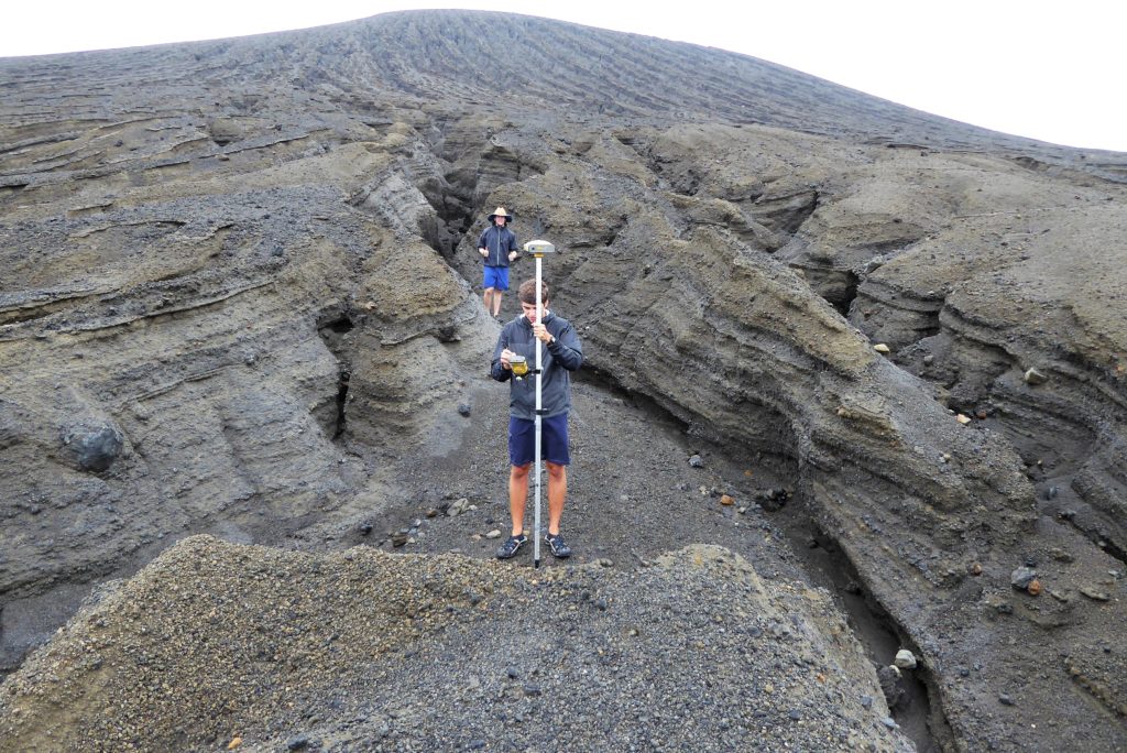
Using a high-precision GPS unit with both a stable and mobile unit, Dan and the students helping him took about 150 measurements that narrow down each point’s location and elevation to better than 10 centimeters. In addition, they used SEA’s drone to do an aerial survey of the island for another layer of observations to use to make a higher-resolution 3D map of the island.
“It really surprised me how valuable it was to be there in person for some of this. It just really makes it obvious to you what is going on with the landscape,” Dan said. One feature that was eye-opening in person was the deep erosional gullies that run down the side of the volcanic cone. “The island is eroding by rainfall much more quickly than I’d imagined. We were focused on the erosion on the south coast where the waves are crashing down, which is going on. It’s just that the whole island is going down, too. It’s another aspect that’s made very clear when you’re standing in front of these huge erosion gullies. Okay, this wasn’t here three years ago, and now it’s two meters deep.”
Dan and the SEA Semester group only had one additional morning on the island before bad weather moved in and they had to retreat to the ship. Now back at Goddard, he’s processing the new data and developing a more realistic 3D model of the island, which he and his colleagues will use to figure out its volume and how much ash and volcanic material erupted from the vent on along the rim of the submarine caldera below. Big questions remain, such as what does the shallow sea floor around the island look like and are hydrothermal processes occurring that may solidify the material and allow it to resist erosion for decades to come. Dan hopes to return next year to find more answers.
